
- Wide ApplicationsSfaira ONE Plus gnss rtk can be used in land surveying, GIS, mine surveying, topographic survey, cadastral survey, road stakeout, robotics, etc.
- Why Choose Sfaira ONE Plus?RTK GPS Up to 60 tilt surveying, pocket-size portability, and a 16-hour battery. Sfaira ONE Plus tracks GPS, BDS, GLONASS, Galileo, and QZSS for a professional and efficient surveying experience.
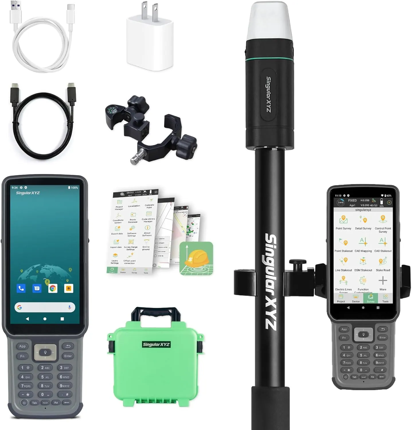
- How to use? Connect the Sfaira ONE Plus RTK GNSS with your phone via Bluetooth. Login to your CORS account (RTK corrections service) in the software or connect to your RTK base station of internal GSM mode and get fixed RTK solution. Initialize the tilt IMU function - shake the pole for 5 seconds. Start working: the software supports Point Survey, Detail Survey, CAD Mapping, CAD stakeout, Road Stakeout, Surface Stakeout, Layer Editting and wide calculation functions.
- Easy to get startedTutorial videos, detailed manual and online one-to-one technical support can definitely help every user to get started with Sfaira ONE Plus easily without concerns.
- Network RTKThe Sfaira ONE/Sfaira ONE Plus GPS survey equipment is only a network RTK rover which needs to be connected with reference station (CORS/VRS) via internet(3/4G).
- NotesSurveying software already installed in Handheld and Permanently valid.The Sfaira ONE PLus is compatible with regular 5/8" thread range poles.
- Support Please refer to the manual included in the package, email us for technical support, or visit the SingularXYZ website to get in touch. We also offer video conference guidance to assist you.
Cart(0)


,NT09L1")


